Distance: 14.4 miles
Ascent: 1516 ft
Walking: Andrew, Tim & Mark
Weather: Cloudy, cool
OS Map: OL21 South Pennines
Parking: Burnley Road, Hebden Bridge HX7 8AU
Pork pies with apple & stuffing: Robertshaw's Farm Shop, Queensbury
Photography: Andrew using Nikon D610 / Sigma 10-20 mm f4-5.6
This is a challenging 14.4 mile walk through woodland, over open moorland, along the top of Hell Hole Quarry and through the historic village of Heptonstall.
The first stage of the walk from close to Hebden Bridge station took us up the steady incline of Commercial Street through Nutclough, eventually turning down the long narrow lane to Midgehole. There we entered the National Trust Hardcastle Crags estate, picked up the footpath that follows Hebden Water upstream through the woods of Hebden Dale for quite some distance before emerging at Gibson Mill. This picturesque 19th century mill is a popular tourist attraction and it's not difficult to see why. The view from the mill pond is particularly charming.
We didn't stay too long there but set off up the hill towards Hardcastle Crags. On the route we were following the rock formations were not that easy to see, being quite well hidden by the trees but it will definitely be worth revisiting when there is time to explore properly.
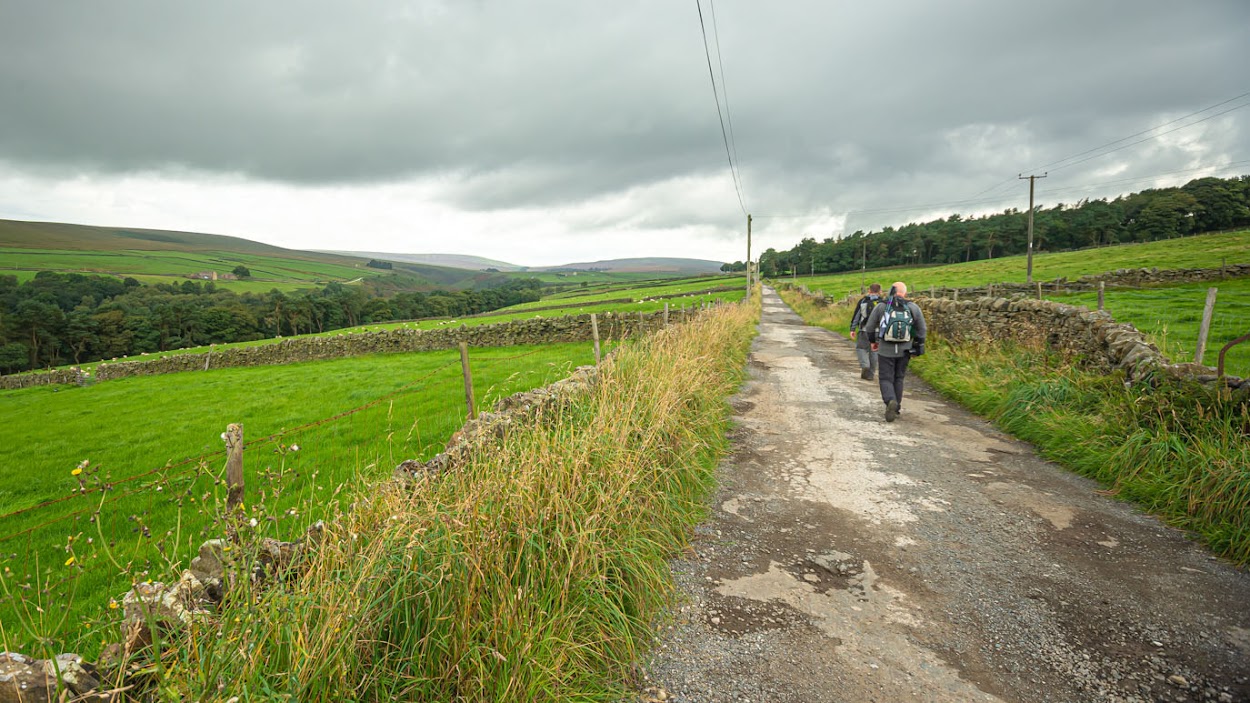
Continuing on up through Walshaw Wood we emerged onto a walled track, which climbed through a small collection of old farm houses and barns at Walshaw then on to New Laithe Moor, where the track finally levelled off for a bit. After passing the gamekeeper's cottage at Holme Ends, we decided to take the footpath over the fields, rather than continue up the track, to meet the Calder / Aire Link footpath. We stopped for lunch on the bridge over Graining Water (pork, apple & stuffing pies from Robertshaws Farm Shop, supplemented by a "waffer thin" slice of chicken and ham pie from Morrisons - both highly recommended) before continuing on the Pennine Bridleway along the dam at Gorple Lower Reservoir and up Reaps Coppy to meet the Pennine Way.
Quite a long stretch of open moorland next with the uphill section being fairly bleak but with great views across the valley. The downhill section past Clough Head was more colourful, with the heather still in flower although past its best for this year.
A couple more fairly steep descents brought us to what appeared to be a well worn old stone pack horse track above the woods along Colden Water. The path is quite narrow and a bit overgrown in places and there are some fairly steep drops down to the stream at the bottom. These, however were pretty tame compared with what was to come as we joined the path along the top of Eaves Wood, known locally as Hell Hole Quarry. I can see why. Unlike Tim & Mark, I'm not good with heights at all and this is very high and the path is quite narrow. Over the years a fair amount of trees have grown up and, to some extent, disguised just how deep the gorge is but you still need a head for heights to walk on here. I was extremely relieved when we turned off and entered the beautiful village of Heptonstall.
The old ruined church is remarkable. It was damaged in a storm in 1847 and the villagers decided not to repair it but to build a new one right next to it. The ruins are well preserved and quite eerie and atmospheric and would be well worth a visit during dramatic weather. The beautiful cobbled main street is reminiscent of Haworth's more famous one (but without the shops and tourists) and was the start of a long, very steep descent back to Hebden Bridge.
This was the longest walk we've tackled so far and there were plenty of points of interest, although there was a fair amount of road walking, which did detract from it slightly.


